PRECISION
AGRICULTURE

APPLICATIONS

FLY NORTH

Agriculture

Forestry

Environmental

Research

STRESS MAPS

Vegetation indices for plant health monitoring .NDVI (Normalized Difference Vegetation Index).
These maps can indicate plants or areas of the crop that are stressed, either due to lack of irrigation, pests, nutritional deficiencies. or others. Having these maps we can identify these areas to carry out tasks that allow correcting the generated stress.

TOPOGRAPHICAL SURVEY AND CROP DESIGN

Through photogrammetric or topographic surveys, we help farmers with the optimal design of their crops. Taking into account the use of the area, the design of the roads, the irrigation channels and the solar exposure that the crop will have.

TREE AND PLANT COUNTING

Using orthophotos and artificial intelligence algorithms, we can make counts of large extensions with a reliability between 95% -99% in a short time, depending on the area to work.

BENEFITS

video

APPLICATIONS

CONTACT WITH US

Contact us and let’s talk about your project.

TESTIMONIALS

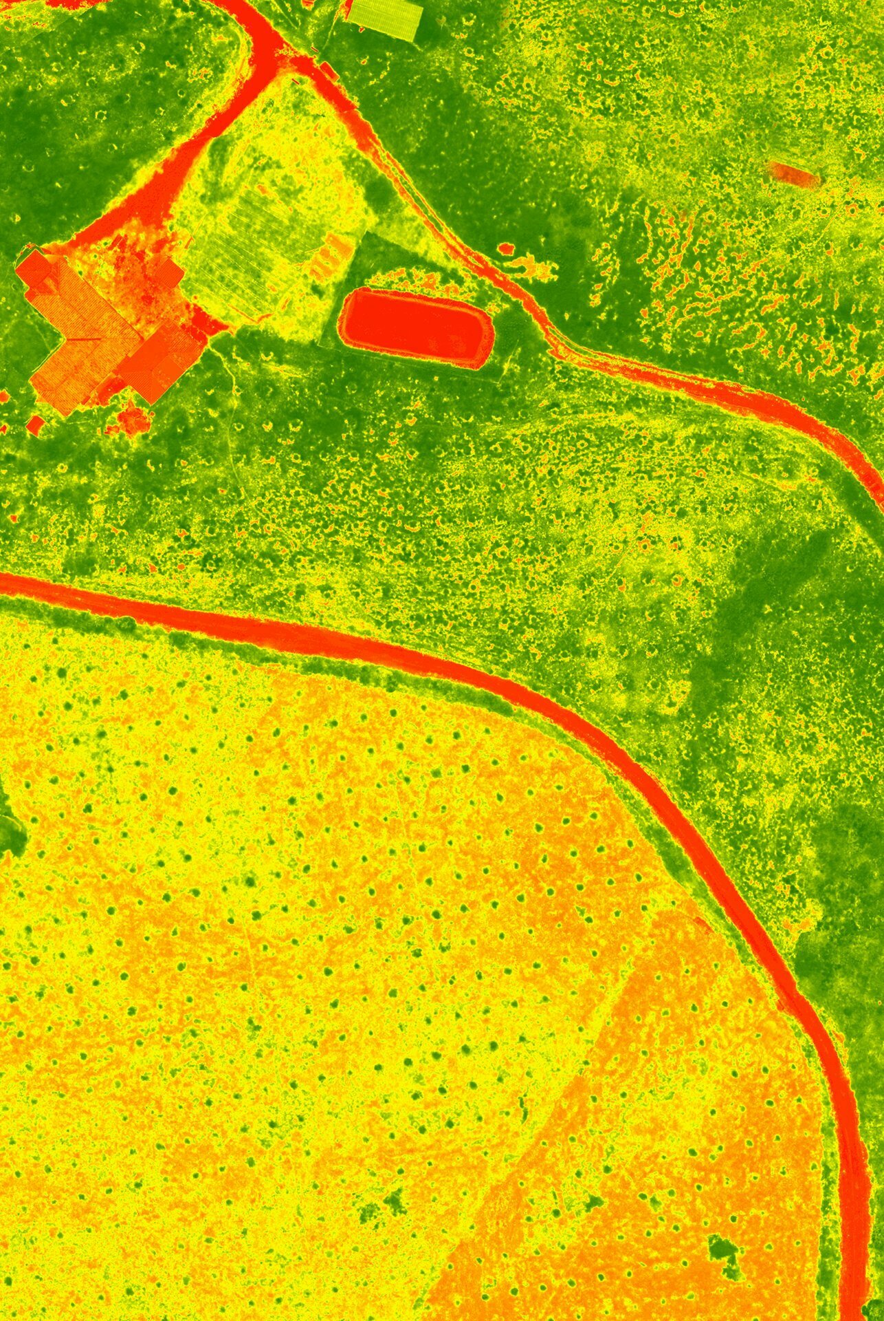
In the month of May 2018, we performed a photogrammetry service for the reforester for 13,600 Ha in order to generate the base cartography for a forestry project, delivering excellent quality results and in less time than traditional methodologies.
REFORESTADORA CUMARE
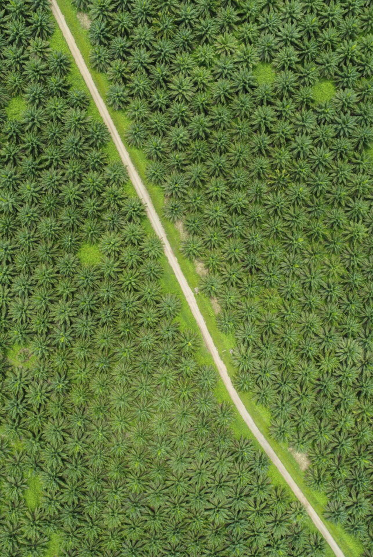
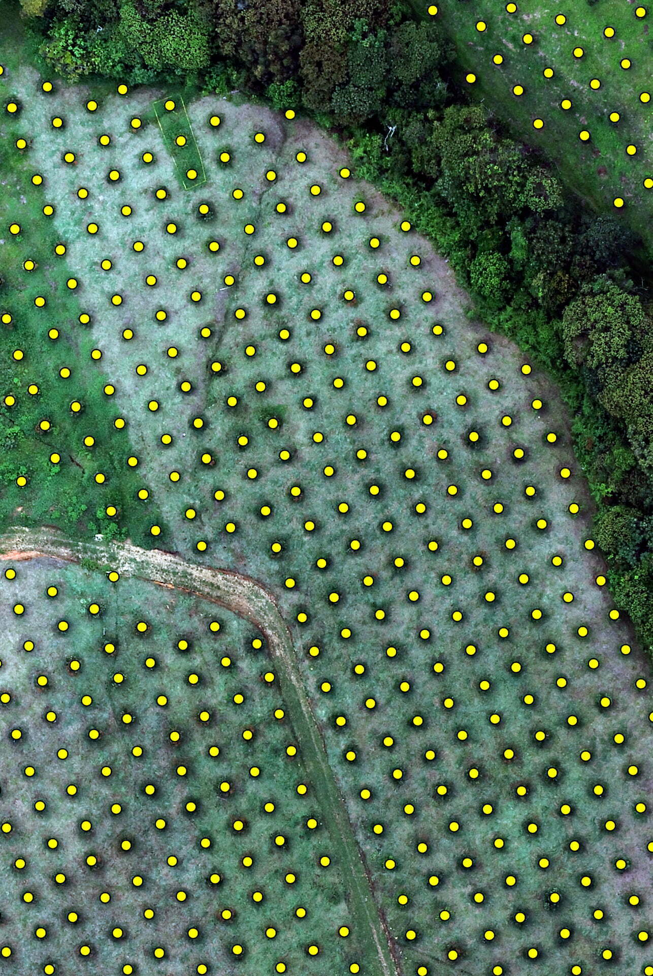
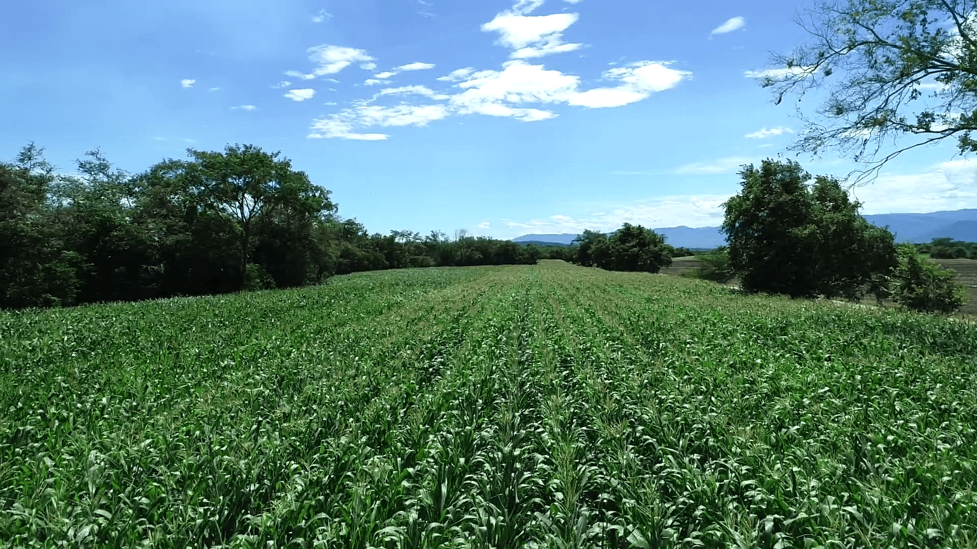
In 2019 we carried out a photogrammetric survey with crop design for the Bora Bora Agricultural company, which was destined to cultivate a Hass avocado crop of about 60 Ha. We carried out a complete consultancy on water management, road layout and the optimum planting design, all designed for efficient crop management.
AGRICOLA BORA BORA