![DCIM100MEDIADJI_0075.JPG](http://flynorthgroup.com/wp-content/uploads/2022/03/Puerto-Petroleo-scaled-e1646673926570.jpg)
APPLICATIONS
FLY NORTH
![](https://flynorthgroup.com/wp-content/uploads/2022/03/IconosA1.png)
Inspection and Monitoring
![](https://flynorthgroup.com/wp-content/uploads/2022/03/IconosA2.png)
Project and Construction Monitoring
![](https://flynorthgroup.com/wp-content/uploads/2022/03/IconosA3.png)
Maps and 3D Models
![](https://flynorthgroup.com/wp-content/uploads/2022/03/IconosA4.png)
Security and Surveillance
![](https://flynorthgroup.com/wp-content/uploads/2022/04/OIL-GAS.jpg)
INSPECTION
OF INFRASTRUCTURE
Drones make it possible to inspect critical infrastructure efficiently and safely.
- Inspection of oil pipelines and polypipelines
- Storage tanks
- Confined space
- Inspection of electrical networks
- Solar panel systems
PROJECT AND
CONSTRUCTION MONITORING
The possibility of autonomously monitoring works in progress makes it possible to evaluate:
- The progress of the work
- Identify HSE risks
- Follow up of personnel
- More continuous monitoring and control
- Improve quality processes
![](https://flynorthgroup.com/wp-content/uploads/2022/03/SEGUIMIENTO-DE-OBRA.jpg)
![](https://flynorthgroup.com/wp-content/uploads/2022/04/MULTITEMPORAL.jpg)
MULTITEMPORARY
ANALYSIS
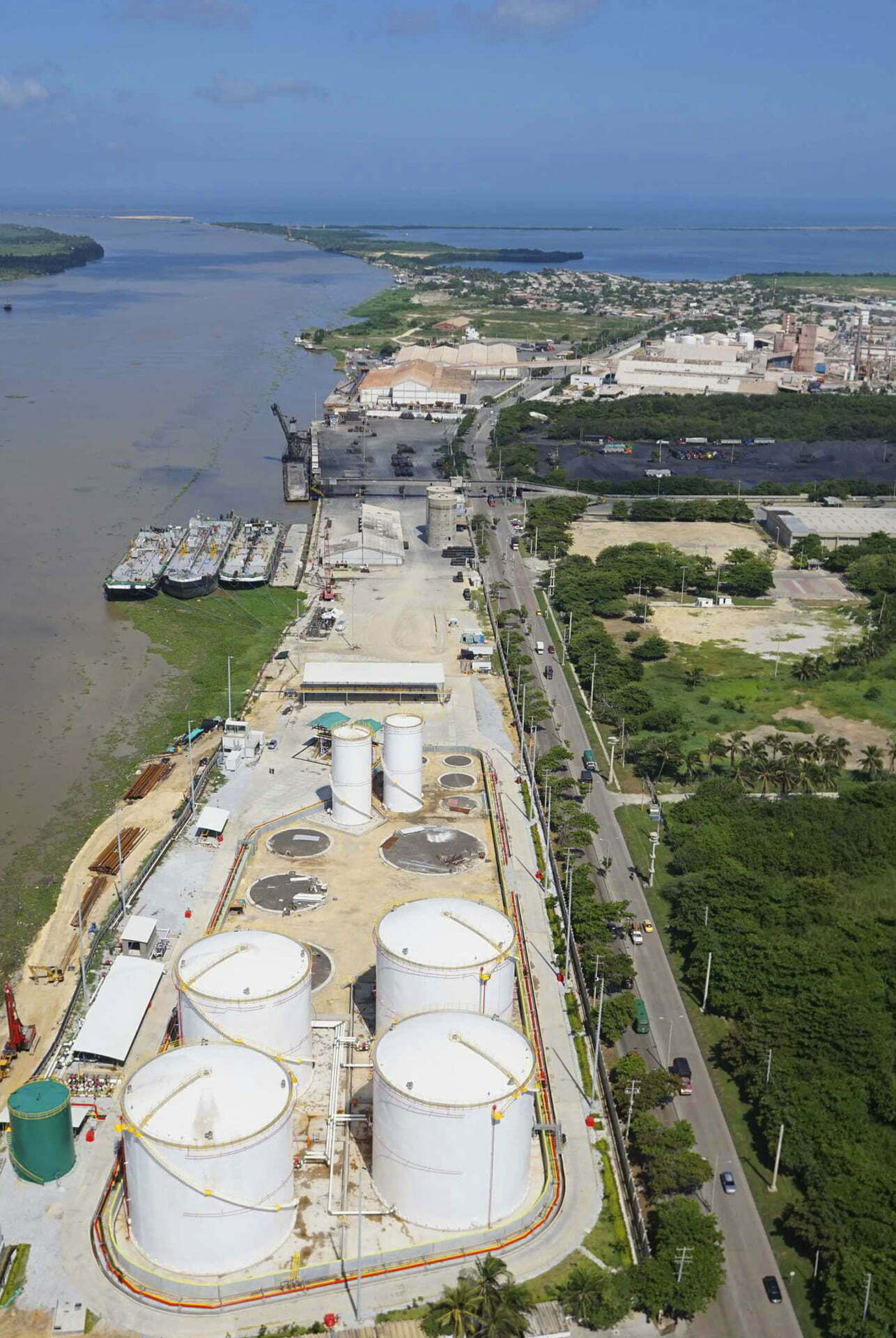
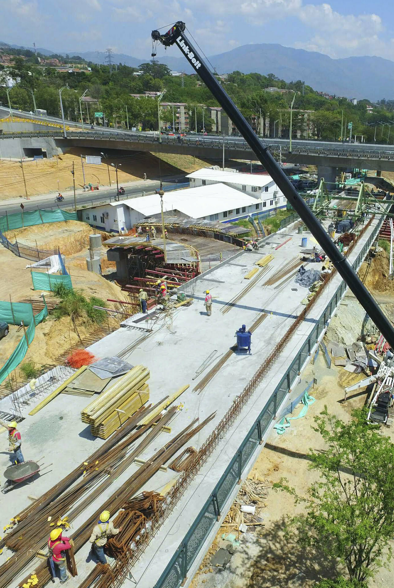
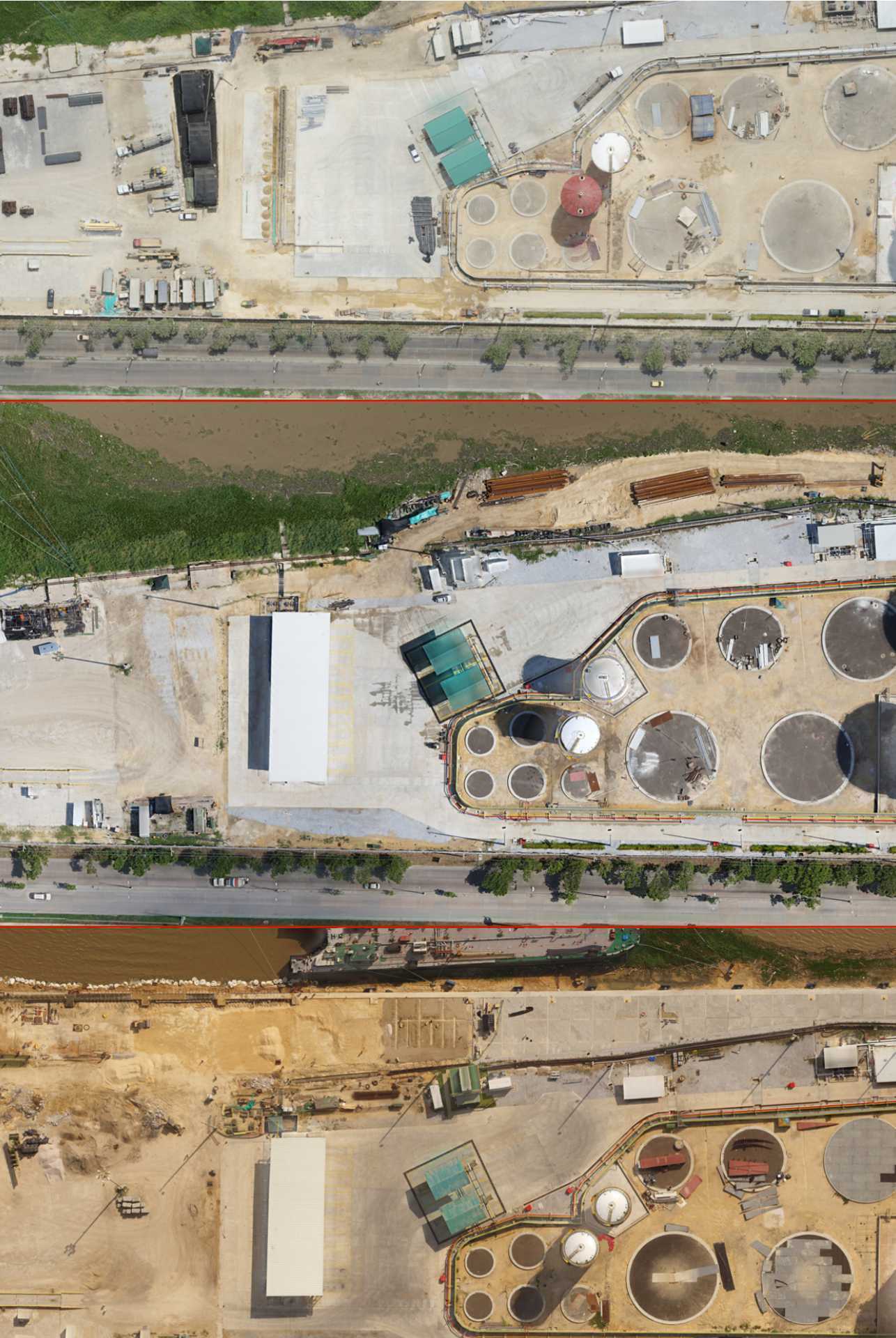
Using a 3D modeling technique known as photogrammetry, we can generate:
Orthophotos, Digital Surface and Terrain Models, Point Clouds, 3D Models, Contour Lines, among others.
These inputs can be used for the following applications:
- Analyze multitemporal changes in the site
- Analyze multi-temporal changes in the work. (Compare month 1 vs. month 10)
- Compare plant designs VS reality on site
- Compare BIM designs VS the actual point cloud on site
- Evaluate the state of the project
- More continuous monitoring and control
- Evaluate the state of progress of works
SECURITY
AND SURVEILLANCE
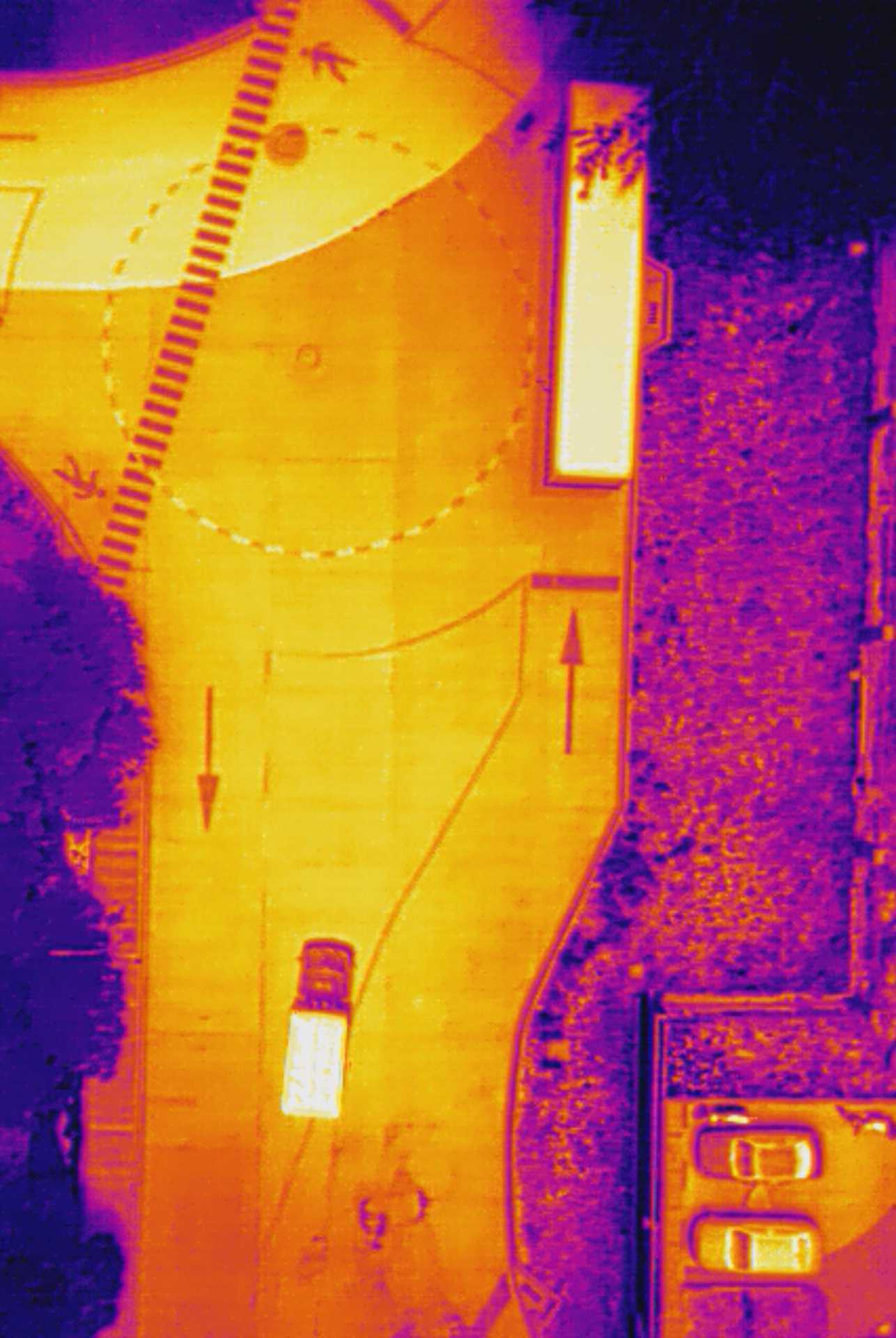
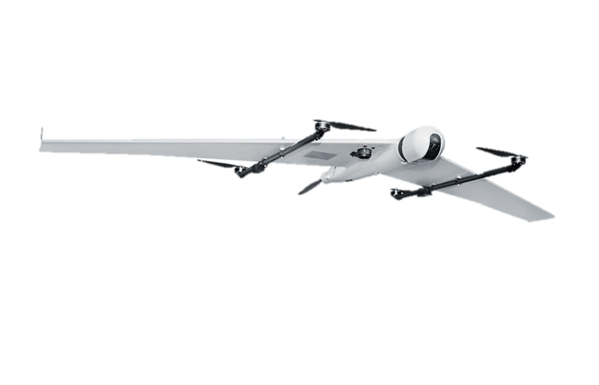
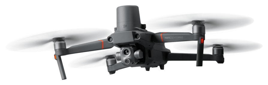
Advantages of drone surveillance:
- Possibility to have autonomous surveillance or with a drone pilot
- Surveillance at scheduled or random times
- Deterrent
- 3 to 50 km radius coverage with real-time video surveillance
- RGB/EO/IR cameras
![](https://flynorthgroup.com/wp-content/uploads/2022/04/SEGURIDAD-Y-VIGILANCIA.jpg)
DRONE PILOT SAFETY IN THE FIELD
Fly North is able to provide 24/7 drone surveillance services with different sensors:
Fixed-wing drones with EO/IR sensors
![](https://flynorthgroup.com/wp-content/uploads/2022/03/drone1.png)
Multirotor drones with EO/IR sensors
![](https://flynorthgroup.com/wp-content/uploads/2022/03/drone2.png)
DRONE IN A BOX SOLUTION
FOR SURVEILLANCE
![](https://flynorthgroup.com/wp-content/uploads/2022/03/IconosB1.png)
Low Weight
100lb/45kgC
![](https://flynorthgroup.com/wp-content/uploads/2022/03/IconosB2.png)
Weather resistant
IP66
![](https://flynorthgroup.com/wp-content/uploads/2022/03/IconosB3.png)
Battery Replacement
90 seg
![](https://flynorthgroup.com/wp-content/uploads/2022/03/IconosB4.png)
Intelligent Charging
6 Batteries at a time
![](https://flynorthgroup.com/wp-content/uploads/2022/03/IconosB5.png)
Temperature control
-20°C a 50°C
![Imagen11 Imagen11](https://flynorthgroup.com/wp-content/uploads/elementor/thumbs/Imagen11-pmvzboot8bmfyn7774xg5wosa8xouf7apxgg3ih440.png)