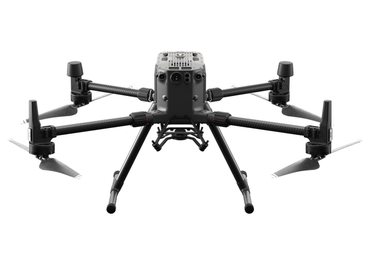
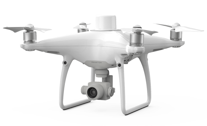
This is a quadcopter designed specifically for photogrammetry. It’s capable of RTK or PPK modes thata allow for high accuracy surveys without the need for large amounts of ground control points. It can achieve cm level grade accuracy.


OUR
DRONES
PHANTOM 4 RTK
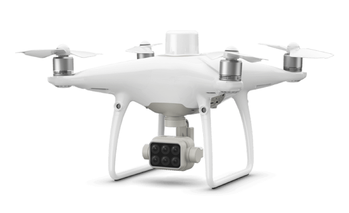
PHANTOM 4 MULTISPECTRAL
This is a drone that combines survey grade accuracy, as well as a multispectral camera with 6 individual bands for precision agriculture applications.
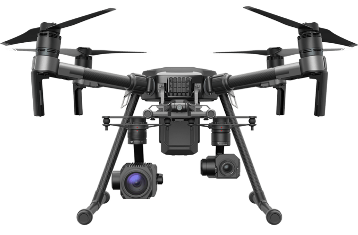
Matrice 210 RTK
It’s a drone designed for the harshets environmental conditions, capable of flying at almost any elevation and any type of weather. It’s a platform used in many applications such as search and rescue, industrial inspection, lidar, suerveying, and can integrate a large number of sensors.
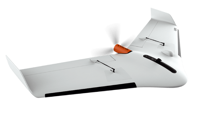
DELAIR UX11
This is a fixed wing UAV capable of flying over 1 hour designed for photogrammetry. It integrates an RTK/PPK GNSS and is capable of covering about 500 Ha in each flight.
Matrice 300 RTK
We have one of the most advanced commercial / industrial drones on the market. The Matrice 300 RTK is a robust drone for the inspection of infrastructure, high voltage towers, telecom towers and many more applications. With an autonomy of 50 minutes of flight, a maximum transmission range of 14.5 kilometers and the ability to transport thermal cameras, LIDAR, and more.
